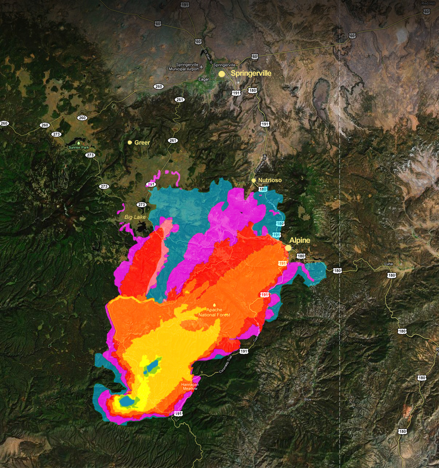
The Case: A couple of years ago I was hired by a law firm to create map exhibits in support of a lawsuit. It involved the Las Conchas Fire. This wildfire burned in late summer of 2011 in the Jemez Mountains north of Albuquerque and west of Los Alamos, New Mexico. At the time it was the largest wildfire in New Mexico's history. In the end it burned 156,000 acres. This area includes much of Bandelier National Monument and threatened Los Alamos National Labs.
By John Fowler from Placitas, NM, USA - Las Conchas FireUploaded by PDTillman, CC BY 2.0, https://commons.wikimedia.org/w/index.php?curid=15748521
By Andrew Ashcraft of the Granite Mountain Hotshots
The fire was contained by August 3rd. As chance would have it, a huge monsoon thunderstorm hit on August 21st causing severe flooding to Cochiti Pueblo which lies downstream from the burn area.
My involvement: I was working for the plaintiff's which included both Cochiti and Jemez Pueblos. The lawsuit was against the Jemez Mountains Electric Cooperative, Tri-State Generation and Transmission Association and the U.S. Forest Service for negligence in causing the fire. The map exhibits I made were pretty pedestrian by most cartographic or GIS perspectives. They were simple maps from existing data that put the extent of the fire and subsequent damages in context. However, I've never had to document a project to the extent I did for this. Data sources, dates and times, methods, software, phone calls, email exchanges all had to be documented thoroughly.
Outcome of the Lawsuit: In late 2015 a jury found that the two utility companies were 95% responsible for the negligence that lead to the ignition of the fire. The fire started when a diseased aspen tree fell onto the power line. They basically found that the tree should not have gotten to the point that it could fall on the line. The utility companies should have preemptively cut the tree, which was clearly visible from the right-of-way.
Expert Witness for Damages: In 2016 I found out that there would be a follow on trial to assess damages caused by the fire. I would be needed as an expert witness. At first it felt exciting, but it wasn't long until it felt daunting. Last summer I was deposed by Tri-State. I learned very quickly why they tell you to use Yes and No as answers whenever you can. Answering in any other way sent the attorney down a rabbit hole of rapid fire questions in search of some nugget he could use. It only lasted a little more than an hour but it felt like three. It was especially challenging because the attorney knew nothing of map scale, watershed delineation, or geospatial technology. At one point I was asked about which watershed a point fell in. I wasn't sure what the point of the question was. All I could say was, "According to this dataset yes." That lead to more questions, at which point I tried to explain that they are called HUC's, and that they are scale dependent etc. This lead to questions about best practices and ethics. Throughout I was honest and just tried to keep my composure.
Early this year I was prepped to appear on the stand. I met with the attorneys several times to practice. I felt very ready even for the unknown questions Tri-State would cross examine me with. This was going to be a jury trial and my teaching experience definitely helped me feel more prepared to explain details to laypeople. However, the night before I was to take the stand, I found out that the defense had accepted all my exhibits. They didn't need me to take the stand after all. It was seriously anti-climactic.
The good news was that I was told that my exhibits appeared every day of the two week trial. They had been helpful to the case. In the end Tri-State settled. I don't know all the details, but am glad to have helped the Pueblos get something in return for all the damage done by the flooding. If I have to do this again I know it will be easier the second time.