
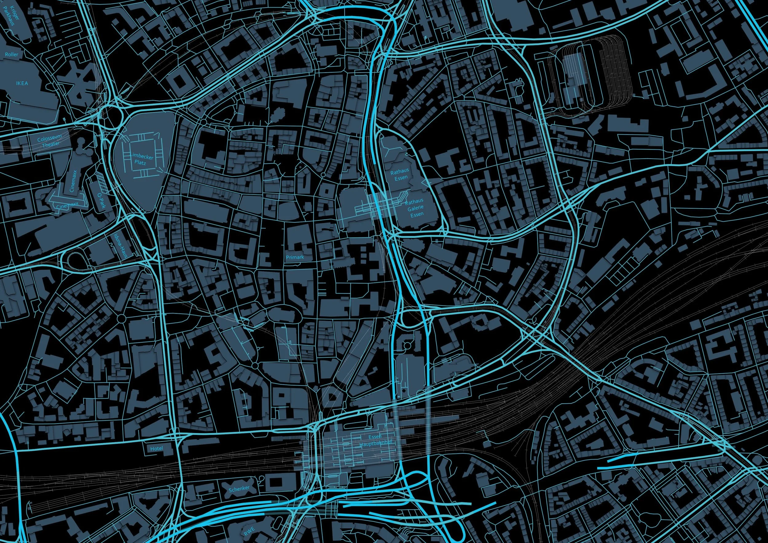
Cartography
We create intuitive, attractive, and powerful maps and graphics for use in magazines, books, posters and digital presentations.
A picture is indeed worth a thousand words and maps are particularly convincing. Any map can be thrown together to show a lot of information. However, creating an effective visual aid that efficiently delivers your message requires our kind of expertise.
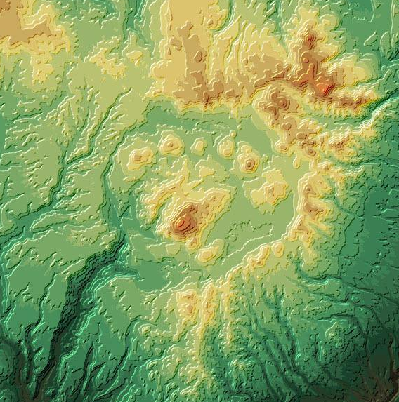
Spatial Analysis
Spatial analyses and the modeling of spatial phenomena provide answers to geographic problems and create potential scenarios for planning purposes. They make it easy to compare results, understand spatial relationships and determine what-if scenarios.
Spatial analyses can range from the simple measuring of areas and distances to sophisticated modeling.
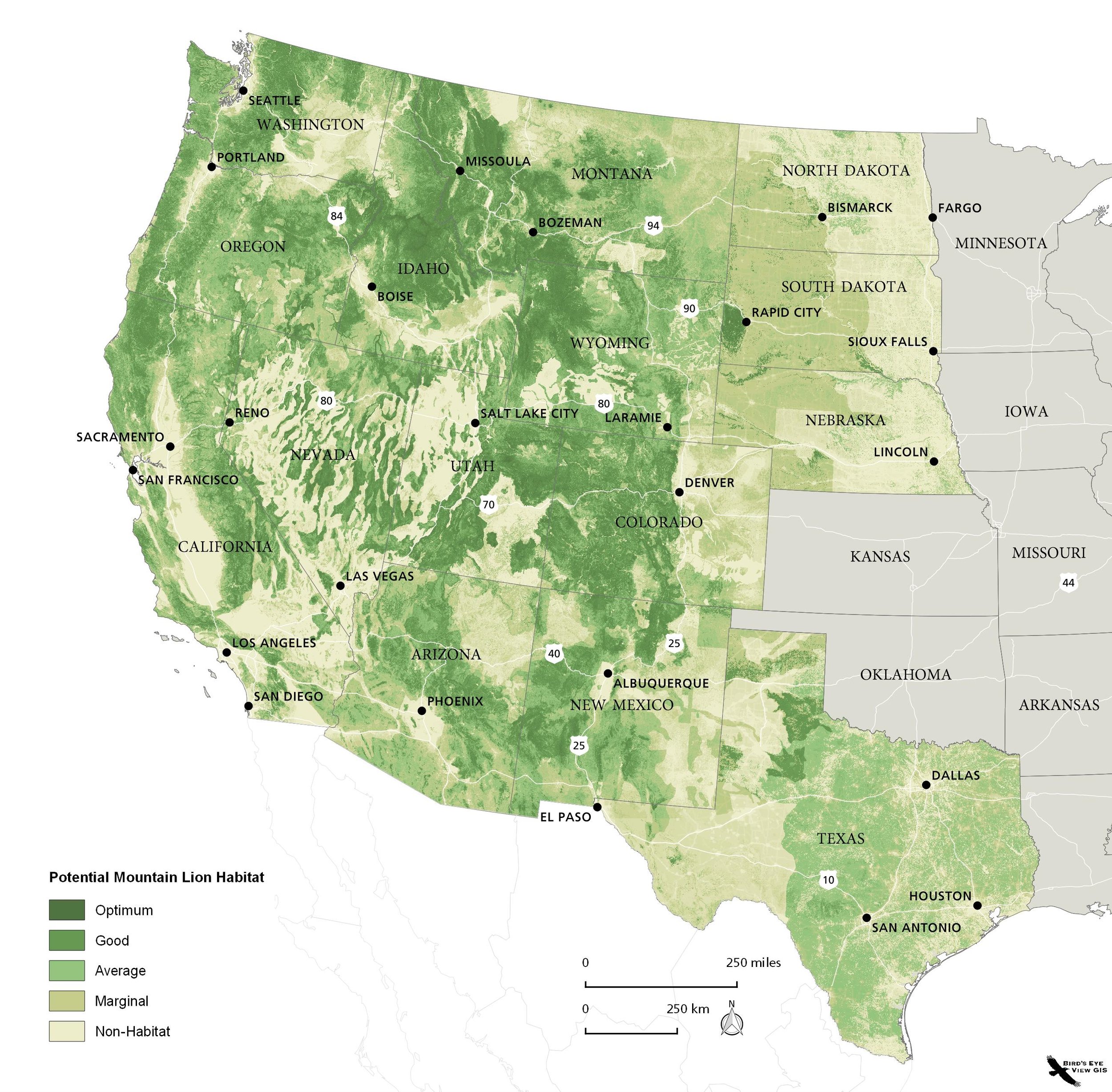
Our modeling tools include ArcGIS, QGIS, GRASS, MaxEnt, and Circuitscape.
One of our specialties is habitat suitability models, niche modeling and habitat connectivity for wildlife. Whatever the need, we assist you with everything your project requires from initial scoping phase to final presentation.
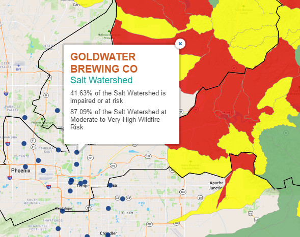
Web mapping
We are well versed in open source web mapping. BEV can develop a site using Mapserver, Leaflet and Cartoweb, all of which are free of licensing fees and offer tremendous performance and scalability.
Need a Google mashup? These allow you to have a custom Google Map embedded on your website with your own data layers merged with Google basemaps.