
Last week I traveled to Maryland. I taught two workshops at the Prince Georges County Department of Social Services for people working on homeless issues. As with most Community Health Mapping workshops, all attendees were novices to mapping technology. However, in the first hour they all built a data collection form in Fulcrum and went outside to collect some data around the building.

Prince Georges County Community Health Mappers
The attendees represented a variety of organizations including many working with YouthREACH Maryland. REACH is an acronym standing for Reach out, Engage, Assist, & Count to end Homelessness. It is an effort to obtain accurate, detailed information on the number, characteristics, and needs of unaccompanied homeless youth in Maryland. Other organizations represented at these workshops included:
- Maryland's Commitment to Veterans
- Maryland Department of Planning
- Prince Georges Community College
- St Ann's Center for Children, Youth, and Familes
- Maryland Multicultural Youth Center
- So Others Can Keep Striving (S.O.C.K.S)
- Sasha Bruce Youthwork
- Lifestyles of Maryland.
In the final two hours of the workshops attendees learned how to map the data they collected in both Carto and QGIS. We also had time for a brief discussion about how CHM could be used in their projects. There were a lot of ideas shared about how the technology could help community engagement.

The afternoon workshop attendees feeling accomplished after completing their Carto maps!
After the two PG County workshops, CHM traveled across the Chesapeake Bay bridge to Salisbury University on the eastern shore.


Salisbury University Data Collection in Carto
The workshop concluded with a short introduction to working with data in QGIS.
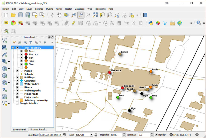
Salisbury University Data Collection in QGIS
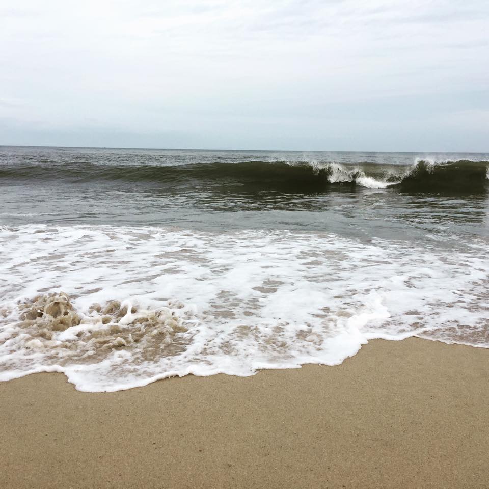
That afternoon I'd hoped to catch up with Art Lembo who wrote How Do I Do That In PostGIS? I realized at the last minute that the author of this little book I've had on my bookshelf works at Salisbury University. Unfortunately he was under the weather. FOrtunately I had time to drive to the Delaware shore for a quick beach walk.

The next scheduled workshop for the Community Health Maps team will be at the Teaching Prevention 2017 Conference in Savannah, Georgia. That conference takes place from April 5-7th. If you are interested in learning this technology this workshop will be a great opportunity!