Review

2019 The Year In Review - aka the GeoMenke Index

Clients

Number of clients served: 30

Percentage of clients which were new: 43%

Number of analysis projects worked on: 12

Approximate number of maps made: 283

Number of new ventures launched: 1 (the Q Cooperative - if you haven’t heard of this click the link. This is a team of skilled QGIS developers and teachers ready to help you implement QGIS)

Books

Number of QGIS books published: 2 (3 if I count the one published without my knowledge but with my name on it by Packt Publishing)

Number of book launches attended: 1

Teaching

Number of QGIS workshops taught: 17

Percentage of QGIS workshops taught in Europe: 24%

Percentage of QGIS workshops taught in my own city: 17%

Number of QGIS Certificates issued: 51 (these raised €1,020 for the QGIS project! - I co-issued another 65 QGIS certificates with partner organizations raising an additional €1,300.)

Number of hemispheres taught in: 4 (yes I completed the QGIS Training Hemisphere Grand Slam - in one year! That's at least one QGIS training in each hemisphere: northern | southern | eastern | western! )

Number of countries taught in: 6 (USA, Canada, Spain, the Netherlands, Denmark & American Samoa)

Number of US States taught in: 7 (California, Colorado, Florida, Hawai’i, Michigan, New Mexico & Rhode Island)

QGISWorkshops2019.jpg

Travel

Minimum number of flights boarded: 44

Number of airlines flown: 8

Number of airports visited: 18

Percentage of airports visited for the first time: 28%

Approximate distance flown: 100,000km or 62,000mi

Different modes of transportation used while in the Netherlands: 7

Conferences

Number of professional conferences attended: 5

Ratio of conference talks given to conferences attended: 1-1

Miscellaneous

Number of Esri licenses purchased: 0

Ratio of GeoHipster interviews started to completed: 2-1.

Number of different coffee shops visited: 32

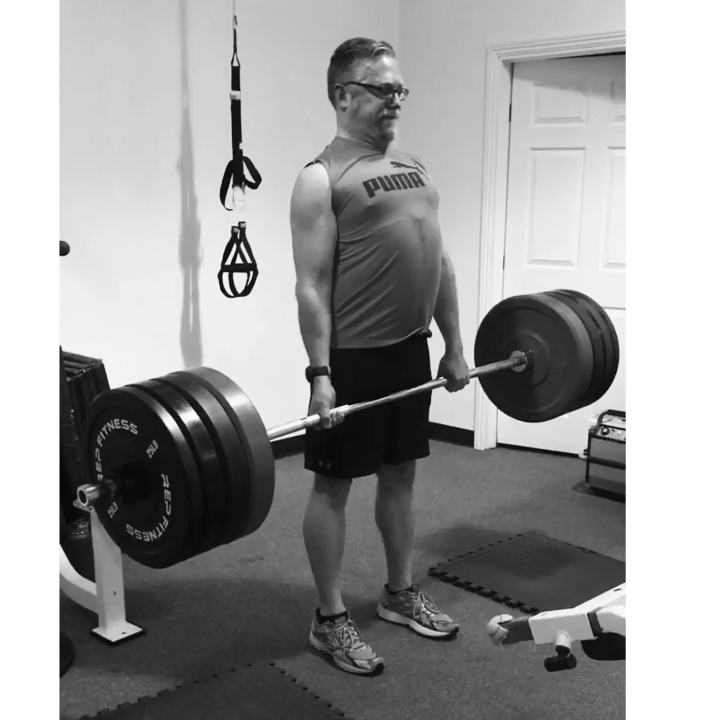
Calories burned exercising: 107,000 kCal

Number of spin classes attended: 102

Number of workouts: 67

Number of hikes: 21

My Favorite Features of QGIS 3.0...To Date

logo_evolution2.png

I've spent the last couple months test driving the nightly releases of QGIS 2.99. I have used it in a production environment for paying clients and it works really well. I've crunched data and made maps. So for #QGIS3Eve I thought I'd quickly run through some of my favorite new features. Note: This is far from a comprehensive review. There are many features and tools I just haven't had time to explore and use. I also know there are many new features I'm not even aware of yet. With that caveat here is what I have found useful so far!

Overall the look of QGIS is very similar. (Note that Browser is gone as a standalone application.)  However, upon closer inspection there are a lot of very useful changes. Layer Properties, Project Properties and Options have all been touched up and added to. Probably the first thing you will notice is that instead of there being a row of add data buttons down the left side, there is now a Unified Data Source Manager button which opens up a browser.

Unified Data Source Manager

The Unified Data Source Manager can be used to access the myriad of data formats QGIS supports and add them to QGIS. This includes vector, raster, database, web services etc. You can browse within GeoPackages, SpatiaLite db's, GRIDS, coverages and Esri File Geodatabases. Any GIS layer you are interested in, can then be added to QGIS by dragging and dropping it onto the map. It also includes a connection to the Project home folder (where your qgs file is located) which is super handy.


Styling

There are some new renderers like point cluster and I've heard there are new Geometry generator expression options which is exciting. One feature I am proud to have had a small role in sponsoring is the Paletted/Unique values renderer for discrete rasters! In my conservation work I deal with a lot of vegetation and land use rasters. Now it's possible to quickly and easily give each unique value it's own color. 


The Processing Toolbox

The Processing toolbox was completely redesigned and many tools were rewritten. This means many are now faster, more flexible and stable. There are many new tools that didn’t exist in QGIS v2.x (Topological coloring, plotting tools, Find projection, Execute SQL, Order by expression, Geometry by expression, Add autoincremental field, Advanced Python field calculator are some I've noticed). Additionally processing tasks also now run in the background. This means you don’t have to stop working while a tool runs! Yet another new processing feature is that layers in different projections will automatically be reprojected, so there is no need to reproject beforehand.

ProcessingToolbox.gif


Map Labels:

It now much easier to edit labels. Previously you had to set up attribute columns and set those as data defined overrides. If you don’t know what all that means, it’s OK. Now all you have to do is simply put the layer into edit mode and edit labels with tools on the Label toolbar. This is not only a huge timesaver, it means I don't have to have multiple LabelX/LabelY columns in a layer for different scales and maps. Maps also now redraw more quickly due to cached label renderers.


Search Bar

There is now a universal Search bar in the lower left corner that can be used to search for map layers, features and processing tools. This makes finding things in QGIS quick and easy...although I keep forgetting it's there.


Tables: 

One cool readability feature is that cell contents now auto wrap.

Tables.gif


Select Features by Value:

There is a new Select Features By Value tool which is going to get heavy use. It can be used to quickly find and select features by attribute. Values will autocomplete and a variety of select statements can be used! Once found, you can Flash the feature on the map, zoom to it and use the assortment of Select options. 


Expressions:

The array of functions and variables available in the QGIS, which was already really impressive by 2.14 is now even more so. There are new expression categories like Arrays, Map Layers, and Maps. The Select by Expression window has also been slightly redesigned.


Compositions --> Layouts

The QGIS print composer was completely redesigned. They are now referred to as Layouts. Map insets can now be in a different map projection than the main map. There is a new and improved system of guides which include settings in any unit of measurement you could want (mm, cm, m, in, ft, pt, pica, pix). There are new controls for choosing fonts which include recently used fonts. When you export a map, a link to the folder shows up making it easy to track down the exported map. I also understand that it is now possible to author plugins for Layouts. I can't wait to see what people come up with.


GeoPackage Support!

QGIS 3 now supports the GeoPackage format as the default. This makes them really easy and convenient to work with in 3. This is probably the beginning of the end for shapefiles. You can easily save to an existing or new GeoPackage. This includes output from Geoprocessing tools. There is even a new Package layers tool that ports out all the layers in your project to a GeoPackage!


Other notable enhancements:

  • A fully integrated 3D environment (see below) - I have played with this a bit but not enough to become proficient. I fully expect this to become much more robust in the near future.
  • Editing improvements including: a) widgets for layer attributes, b) CAD style digitizing tools that allow you to create perfect rectangles, circles, ellipses etc. and c) a new node editing tool with a lot of behavior improvements
  • Previews of where each map projection can be used. This will be a big help for beginners!

All in all, it's a seriously impressive amount of work. I am eternally grateful to all the sponsors and developers who made this happen. I can't wait to dig in deeper! Enjoy everyone.

The Concise 2016 Year in Review...Another Good Year!

Professionally

  • ~ 400 maps made...roughly
  • Numerous analyses done, some big, some small
  • Worked for 21 clients
  • Authored Discover QGIS with Locate Press
  • Co-authored Mastering QGIS Second Edition with Packt Publishing
  • Began learning R & working with GeoPackages, getting better at PostGIS/SpatiaLite and brushing up on Python
  • Continued to migrate all GIS work to FOSS4G
  • Connected with a lot of great geospatialists via social networking
  • Taught Community Health Map workshops in: 
    • Seattle WA (twice)
    • Honolulu HI
    • Spokane WA
    • Bethesda MD (twice)
  • Gave talks at:
  • Authored 17 Community Health Mapping blog entries
  • Taught 8 GIS courses at UNM Continuing Education
  • Travelled to: 
    • Seattle (twice)
    • Lawrence KS
    • Raliegh
    • New York City
    • Washington DC
    • Orlando FL
    • Bisbee AZ
    • Spokane WA
    • Honolulu
    • Meeker CO
    • Denver (twice)
    • Red River NM

    Personally

    • Worked out 205 times...20 more than last year!
    • Climbed my 21st fourteener (Mt Bierstadt)...a work in progress
    • PR dead lift – 355lb
    • PR back squat – 315lb
    • Walked 410 miles...ah technology!

    The Concise 2015 Year in Review...A Good Year!

    Professionally

    Personally

    • Celebrated my grandmothers 100th birthday
    • Travelled to Denmark, Vermont, New York City, San Francisco, Colorado, Bisbee AZ and Charleston SC.
    • Worked out 184 times...not bad for an aging GeoHipster!
    • Walked 370 miles...ah technology!
    • Climbed my 20th 14’er (Mt Yale)...a work in progress
    • PR bench press – 215lb 3x
    • PR dead lift – 300lb – 5x
    • PR back squat – 205lb – 4x