

I just returned from my favorite conference, The North American conference on Free and Open Source Software for Geospatial (FOSS4G-NA). I know it's a mouthful. But it's a gathering of the brightest FOSS4G developers (aka geeks), and has a friendly atmosphere of collaboration and openness. It covered two and a half days and included: pre-conference workshops, multiple plenary sessions, five concurrent paper sessions, lightning talks, code sprints, a Gala Event, panel sessions, and birds of a feather sessions. It was my first time in Minneapolis since the inaugural 2003 Mapserver Users Meeting and it was nice being back.
One day standing in line for lunch I met two guys who were also in attendance 10 years ago, but we'd never met before. It was the guy in front of me and the guy directly behind me. We ended up eating together. What are the odds of that? It's those little moments of connection that make these events so much fun.
This year I noticed an even more distinct focus on web mapping technologies, and web development, than usual. With QGIS 2.0 just about to release it would have been great to hear a state of QGIS talk. I'd also really appreciate more sessions on spatial analysis. Maybe I'll need to sign up for one next time. After all there is more to geospatial than web development.
The opening plenary was one of the highlights. Erek Dyskant covered use of FOSS4G technologies behind the Democratic National Committee's recent presidential campaign. A stack of FOSS4G software was developed including PostGIS, QGIS and web services. This stack allowed access to current campaign related data in near real time to all nationwide staff. Field offices were then in a great position to prioritize door knocking and calling campaign, and maximize resources.
Another session of note had an educational focus with papers titled: The New Users, Adapting Web Mapping Curriculum to Open Source Technologies, and Building a Geospatially Competent Workforce with FOSS4G. This was especially interesting for me as I strive to keep my Introduction to Open Source GIS and Web Mapping course current in a rapidly changing field. I also heard valuable updates on MapServer, GeoServer, MapBox, OpenGeo, GDAL/OGR, Leaflet and OpenLayers 3.
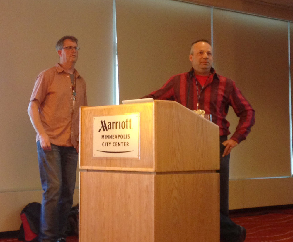
Steve Lime and Daniel Morissette answering questions about MapServer
The final session was a panel discussion on the use of FOSS4G in state and local governments. It was an interesting frank discussion. On one side it was about the political and bureaucratic hurdles in the way of organizations adopting FOSS4G. On the other were success stories of FOSS4G being utilized in state governments.
The Gala was held at the Mill City Museum in the ruins of the Gold Medal Flour mill on the Mississippi River. A gorgeous site. Seeing voluminous water is a treat coming from drought stricken New Mexico.
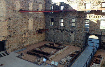
The ruins of the old Gold Medal Flour Mill
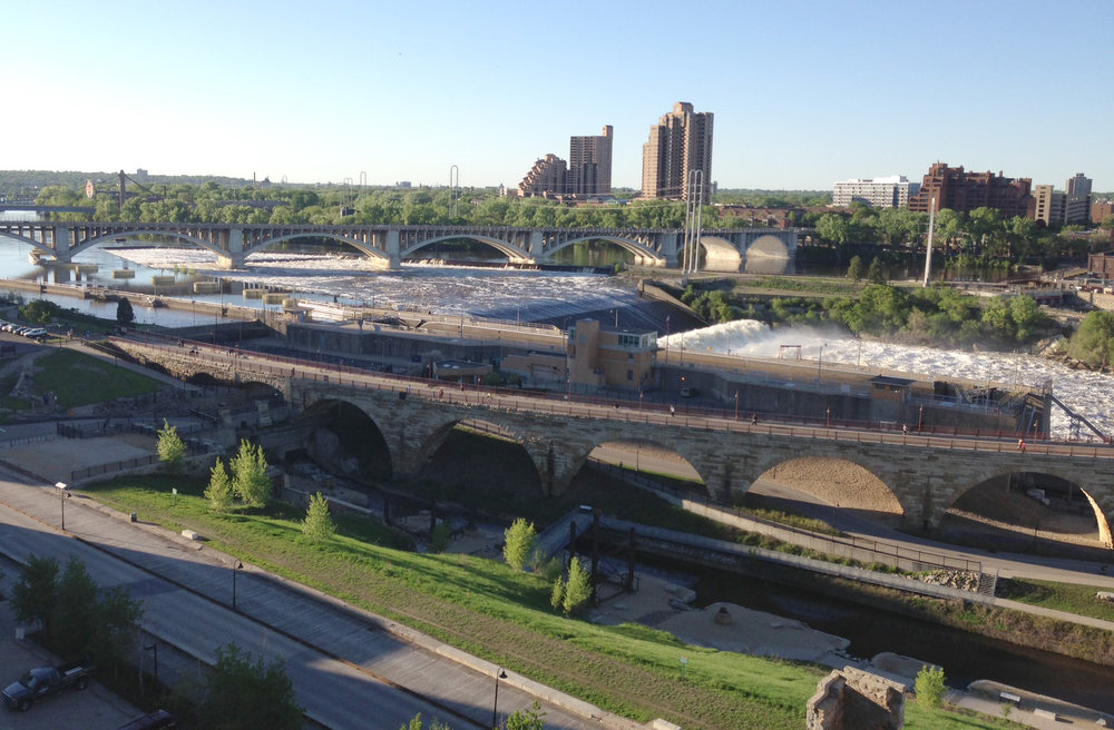
The view of the Mississippi River from the 8th floor of the old mill.
Plus I met a bunch of new folks! Kudos to the organizers for putting on another great show. It was a great conference!
************************************************************
END NOTE: If you're a geo-geek and into exercise you've got to get a Suunto Ambit. Here is the data from my walk back to the conference hotel from the Gala Event. I wasn't wearing my heart rate monitor, but it still collects elevation, barometric pressure, GPS, elevation, speed, temperature etc., and allows export to KML. Oh and you can navigate with it and it has a compass.
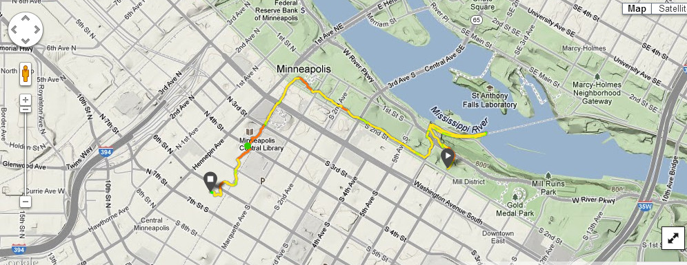
My walk back to the hotel from the Gala event recorded with my Suunto Ambit GPS watch