Conference

FOSS4G 2017 Boston

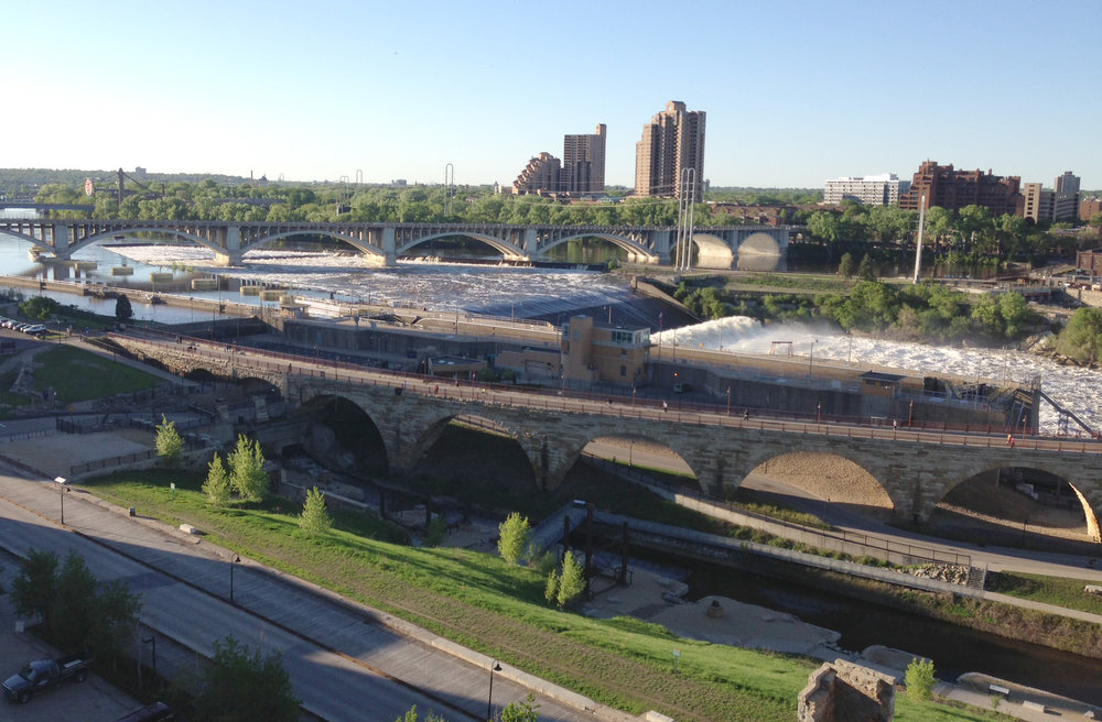
On Sunday the 13th, I flew from Copenhagen to Boston to attend FOSS4G. It was a long flight, and after two weeks it was a transition from Europe to the US. It was also a transition from a small intimate QGIS conference in Denmark, to the biggest FOSS4G ever in a busy part of Boston.  

FOSS4G didn't disappoint. Monday began  with an impressive line up of pre-conference workshops. I took workshops on R, GRASS, PostGIS and Inkscape with QGIS. I was a little delirious from jet lag, but they were all really well paced and well taught. I really appreciated the materials being posted online, because I have more homework to do. Plus as usual I didn't get to attend all the ones I wanted to. 

Regina Obe set up a table for FOSS authors to sell and sign books. Since I was in Denmark, I pre-ordered my books from the publishers and had them shipped to Paragon. I wasn't sure what to expect and didn't want to be left with a ton of books to lug back to New Mexico. As it turned out I should have ordered more. I ordered 10 each of my two books and they almost sold out at the first break. I was really surprised. 

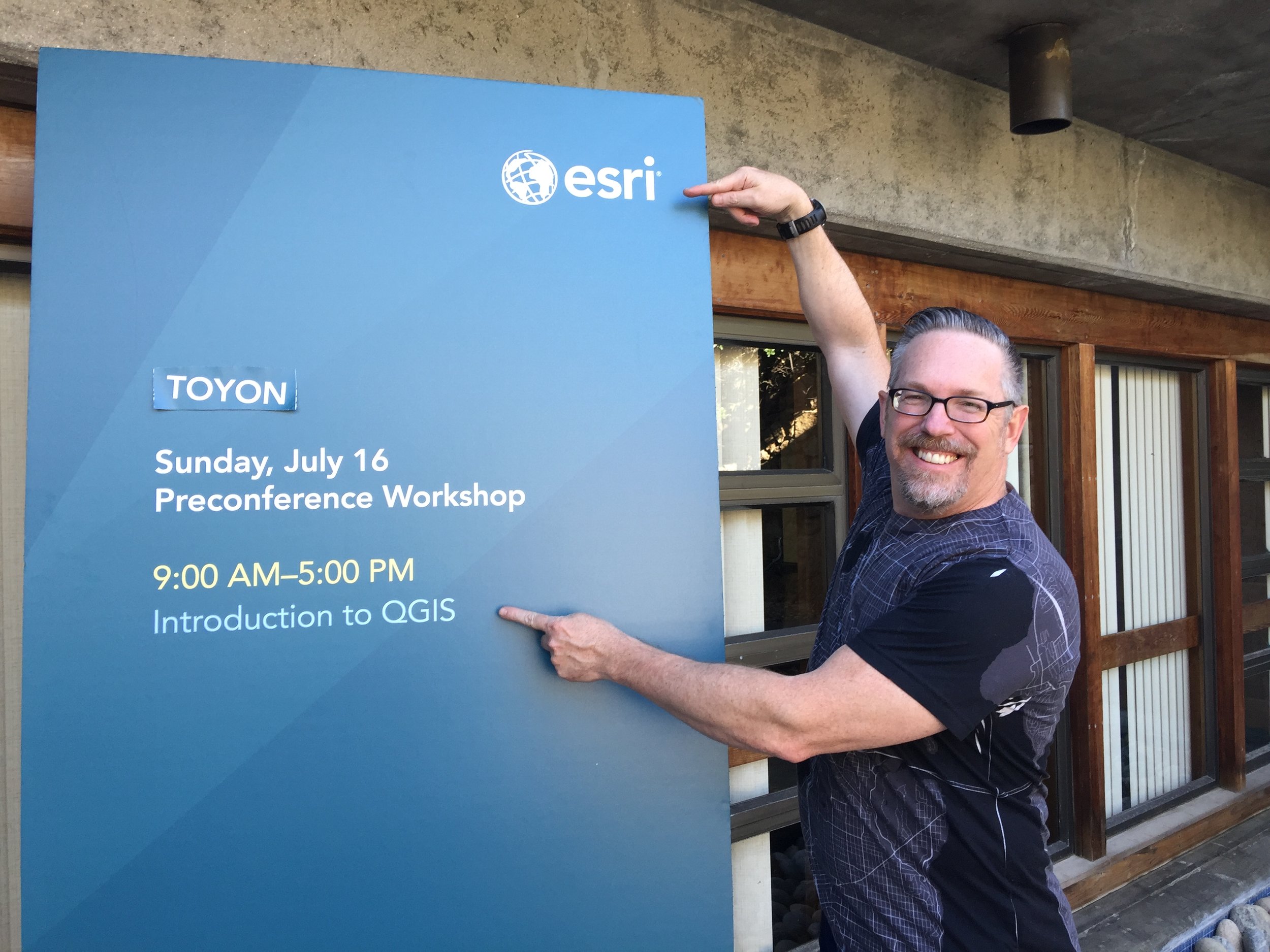
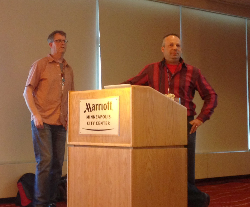
During the week I sat on a panel (What the Heck Does an Open Source Job Look Like Anyway?) with Sara Safavi, Rob Emanuele,  and Katrina Engelsted. Like the conference, the panel discussion went by really fast. I also gave three talks. One talk was on the Community Health Maps initiative I've been working on. For another I presented for a client who couldn't make it. It covered teaching earth sciences with open source GIS. I also co-presented on the State of QGIS with Larry Schaffer. 

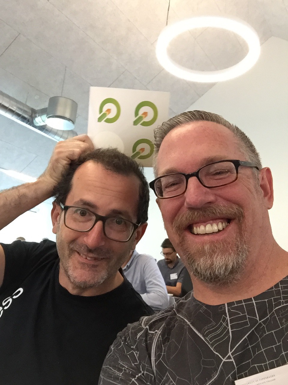
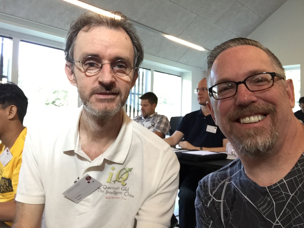
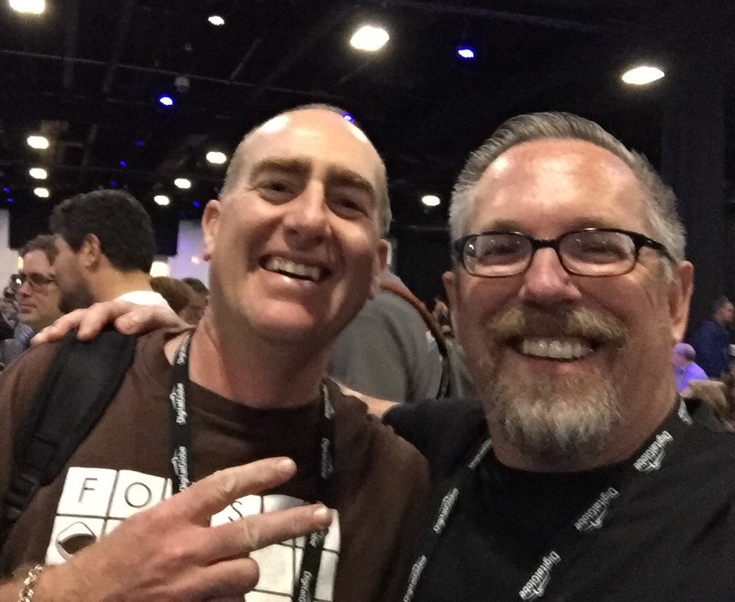
As is usually the case, the people were the best part. It was fun getting to meet new people, people I've known of but never met, and reconnecting with old friends. For example, I was checked into the conference by a client of mine who I'd only spoken with on the phone, and the week kept rolling like that. There were about 6 of us who traveled from Denmark to Boston. It seemed we kept hanging out together in Boston, still in a Nødebo high.

It was a really well planned conference. Everything ran like clock work. There was always someone nearby to help answer a question. Kudos to the conference committee on a job well done! Now I'm about to head out to teach a workshop at Yale and another in Miami. No rest for the weary. Stay tuned!

Another Wonderful QGIS Conference/Hackfest/Developer Meeting in Denmark!!!

There's something notable in Nødebo. From August 2-10 The third QGIS User Conference, Hackfest and Developer Meeting was held in Nødebo Denmark at the University of Copenhagen – Forest and Landscape College (Københavns Universitet Skovskolen). I was fortunate to attend, as I did in 2015. The first two days were the users conference, then there was a 3 day hackfest followed by 4 days of workshops.

It was another intimate meeting with 120 people from 29 countries and 6 continents! My wife and I were the only Americans to attend the user meeting. It was really nice to have my wife and business partner along. This in fact became a theme of the meeting. Many brought their spouses/partners and kids. It felt more like a QGIS family gathering than a "conference".

Since we are all staying on a small campus and eating all our meals there, it creates a real bonding atmosphere. There were numerous opportunities to connect with others throughout each day. It is the best community building atmosphere I've experienced at a conference. The QGIS family is very warm and inviting. I think this is part of the reason QGIS is such a successful project. I got to catch up with old and dear friends/colleagues and meet many new ones.

Many of the talks were given by developers and we were updated on the state of QGIS. Topics included QField (Matthias Kuhn and Marco Bernasocchi of OpenGIS.ch), a native QGIS 3D renderer (Martin Dobias of Lutra Consulting), the InaSafe plugin (Tim Sutton of Kartoza), QGIS Web Client 2 (Andreas Neumann). There were some short workshops in this section including a nice overview of LASTools by Martin Isenburg. Then Nyall Dawson (North Road) gave a truly memorable presentation Exploring the Depths of Madness with QGIS Symbology that I'm still trying to wrap my brain around.  Interspersed throughout the program were many presentations  highlighting local initiatives involving QGIS and several research projects. Tim Sutton just authored a much more complete accounting of the talks at the conference with video clips. You can find it here.

The environment at the Skovskolen is full of the feeling of Danish hygge. This is largely due to the hard work and gracious hosting of Lene Fischer. The meals are better than any I've had at any other conference by a large margin, and the local staff and students are warm and welcoming. We had a chatted with students Asbjørn, Ras and Frederik. Each night there was a gathering at the local watering hole Flaeken, with nail game challenges and fuzboll. I miss the nail game. It's a Skovskolen tradition involving pounding nails into a large stump. 

On the final day I taught a full day workshop on Cartography and Data Visualization in QGIS. The attendees were from 9 different countries. What I gave was a tour of the many great data visualization tools available in QGIS.

Data Visualization and Cartography with QGIS

I covered the print composer introducing some tips and tricks along the way and a section on Atlas generation. I then covered the many renderers now available, highlighting the 2.5D, Geometry generators, point displacement and showing some use cases for the popular inverted polygon shapeburst fills. I also covered some plugins such as QGIS2ThreeJS and the Time manager and use cases for different Blending modes. 

I sadly missed the group photo taken near the end of the hackfest taken by Maryanne Dawson. Sarah and I took some days in the middle to have a holiday. We rented a place in Copenhagen and flew to Oslo one day to visit the Viking Ship Museum. 

QGIS 2017 Group Photo by Maryanne Dawson

To top it off, on the final night Sarah and I were taken to a performance of Hamlet at Kronborg Castle. This is the castle that was the model for Elsinore in Hamlet. The performance was phenomenal including some interesting modern elements like cell phones and helicopters. If that weren't enough it was staged right next to the moat outside the castle complete with swans and full moon rising. There was nothing rotten in Denmark and I cannot wait until next time! From there we flew to Boston to attend FOSS4G. I'll report on that next!

A QGIS Workshop at the Society for Conservation GIS (SCGIS)

Last Sunday I taught a full day Introduction to QGIS workshop at the 2017 SCGIS conference in Pacific Grove, California. While I've taught this course many times before, this class was particularly unique because SCGIS, although an independent non-profit organization, is heavily sponsored by Esri. In addition, Max Wright with Conservation International, also taught a QGIS workshop entitled An Introduction to Predictive Land-use Change Modeling using Open-source Software, making 2 of the 4 workshops at SCGIS QGIS based. Certainly a first! 

A QGIS workshop at an Esri sponsored conference?!

A QGIS workshop at an Esri sponsored conference?!

My workshop was sold out with a waiting list and I eagerly anticipated meeting the participants. Almost universally attendees were either:

  • Mac users and/or
  • Looking for work and wanting some new skills

I expected there to be some ArcGIS power users from established conservation organizations who were just curious about QGIS, but there wasn't anyone who fit that description. 

Overall QGIS was very well received. During the morning session I introduced FOSS and QGIS, showed how to add and style data and create a map. At lunch one attendee said,

"I have about 10 pet peeves with ArcMap, and you just answered 7 of them with QGIS!"  

During the afternoon session I covered plugins, geoprocessing, the Graphical Modeler and how to get help/resources. If you missed it, all the workshop materials can be downloaded here.

One of the most interesting aspects of SCGIS is their International Scholar program. In attendance were a couple dozen scholars from around the world. I met people from Barbados, Zimbabwe, Madagascar, Brasil, Columbia, The Gambia, Bangladesh, New Zealand, Pakistan, and Zambia. It was really fun connecting with people from such different places working on conservation.

Then there was the location. We were at the Asilomar Conference Grounds on the Monterey Peninsula. The waves on the beach could be heard from our room and each night I went out to the beach to enjoy the sunset. I also had time to visit the Monterey Bay Aquarium and go on a whale watching tour!

One thing I realized is that many don't seem to look far beyond the Esri ecosystem for geo-tools. I've been an Esri user for 20 years, I get it. There are some great products in the stack. However, I hope more SCGIS'ers eventually venture to a FOSS4G conference. I think it would be immensely helpful to their work. The set of FOSS tools discussed there is so broad and interesting. Afterall GIS is just a tool, why not have a bigger set of tools to work with? Certainly having two QGIS workshops at SCGIS is a step in the right direction. 

I had some discussions with another SCGIS attendee about doing a workshop next year on how to work with LandFire products with QGIS. I'll keep you posted on that.  Next up is the 3rd QGIS User Meeting/Hackfest/Developer Meeting in Nødebo Denmark where I'll be teaching a full day workshop on Data Visualization and Cartography in QGIS!

Apparently It's Conference Season!

I don't think I've ever been to back-to-back conferences and this summer I'm going pretty much back-to-back-to-back. The best part is that they are all in great locations.

First up I'm giving an Introduction to QGIS full day workshop at the Society for Conservation GIS (SCGIS) conference. The location can't be beat. It's at the Asilomar Conference Center, located on the coast just outside of Monterey, California. Historically this has been an esri-centric group so it's an exciting opportunity to show conservationists how far QGIS has come! I've been told the workshop is sold out with a waiting list.

The main presentation hall at Asilomar

The main presentation hall at Asilomar

I'll be home for a little less than a week. Then I head to the 2017 QGIS Users Conference in Nødebo, Denmark! Lene Fischer produced the video below if you want to know where it is and how to pronounce it :)

In Denmark I'll be teaching another all day workshop. This time the topic will be Data Visualization and Cartography in QGIS.  I'll cover the myriad of great data visualization techniques now available in QGIS including the QGIS2ThreeJS and Time Manager plugins. I was there in 2015 for the first QGIS User Conference and it was a great experience...I highly recommend it. The first few days will be the Users Conference, then there is a Developer meeting and it closes the second week with the Workshops. I'll be heading down to Copenhagen in the middle for a few days to be a tourist. 

2015 QGIS Conference in Nødebo Denmark

From Denmark I fly back to Boston for FOSS4G. I'll be participating in 3 talks and a panel discussion. It will be great to catch up with the #gistribe & #spatialcommunity folks face-to-face. After 3 weeks on the road I'll then fly home. It's going to be an adventure. 

I'll post links to my workshop presentations afterwards and I'll probably write a few summaries once I've recovered.

First User/Educator/Developer QGIS Conference - Nødebo Denmark

I finally have a moment to report back on the first ever international QGIS User/Educator/Developer conference in Nødebo, Denmark. It was certainly one of the best GIS conferences I've been to. It had a very intimate feel. The setting at the Forestry School of the University of Copenhagen (Skovskolen) was beautiful and peaceful. It was located in one of Denmarks largest forests and there were numerous trails and forest gym play areas.

Danish forest (Gribskov) near the conference groundsI had a lot of great conversations, some with old friends, and some with people I've known only from the QGIS-sphere. It was exciting the meet the latter face to face! There were ~150 attendees from 25 countries, and being one of only two Amercans was stimulating and refreshing.  QGIS 2015 Attendee Map

After Jeff McKenna's keynote I presented on the FOSS4G Academy.

OsGeo President Jeff McKenna opening the conferenceThere were some really good talks and workshops over the first two days. One highlight was a fruitfull round table discussion on education, curricula and certification. I'm excited to announce that our FOSS4G Academy material are being adopted by the QGIS project. This is the best chance for this material to survive and grow past 2015. 

My personal conference highlights included: 

  • Matthias Kuhn presenting QField - this will be a mobile version of QGIS
  • Nyall Dawson and Andreas Nuemann showing new advances in rendering and the Print Composer - there are a lot of great tools coming out in the near future
  • Anita Graser showing all the new features of the Time manager - it's becoming a very powerful data visualization tool
  • Tim Sutton leading an open discussion on the future of QGIS. It's not clear when version 3.0 will be released or what upgrading to Qt5 and Python 3 will involve. However, the QGIS development team will give us plenty of lead time before that change happens.
  • The farewell dinner held in a huge tent in the forest. The Danes know how to throw a party!Farewell dinner
  • Meeting people I've known only via the QGIS-sphere including my co-author Luigi Pirelli and conference organizer Lene Fischer!Myself and Luigi Pirelli - Mastering QGIS!
  • Making new Danish friends

Group shot QGIS 2015

Thanks to Lene Fischer and the staff and students at the University of Copenhagen Forestry School for organizing a great conference! Here's hoping there is a follow on educational conference there next summer!

My wife and I posing with Lene Fischer

I didn't stick around for the developer meeting and the hackfest. I instead spent some time sightseeing and relaxing on the north coast of Zealand in a town named Gilleleje.Sunset over the Kattegat

Excited to be Attending the 1st QGIS Conference!

Monday I'm heading to Denmark for the first time to attend the first joint developer | user | educator QGIS conference. In 2003 I attended the first Mapserver Users Meeting and it feels like there are some similarities. That meeting was also held at a Forestry College (St. Paul, MN) and had about 150 people as are exptected in Nødebo. That meeting felt cutting edge and exciting. It was several years before FOSS4G's came into existence. This feels like it might have a similar excitement to it.

First Mapserver Users Meeting (2003)

I'll be one of only two American attending. I am anticipating meeting many of the European QGIS developers and bloggers that I only know from the Twittersphere. This includes one of my co-authors of Mastering QGIS. There will be some great talks and workshops. Before and after my wife and I will be able to tour the Danish countryside. Stay tuned...

TrekWest Corridor Meeting

The Wildlands Network and friends met this last week in Salt Lake City to discuss TrekWest year 2. We were graciously hosted by Black Diamond Equipment. There were about 30 of us from 19 different organizations along the Western Wildway, aka the Spine of the Continent. John Davis was there to share his thoughts on his 10 month human powered journey to promote wildlife corridors. The focus was on protecting wildlife corridors. Stay tuned! 

TrekWest Meeting at Black Diamond Headquarters

The TrekWest crew meeting at Black Diamond Headquarters

TrekWest Priority Corridors

FOSS4G-NA 2013

I just returned from my favorite conference, The North American conference on Free and Open Source Software for Geospatial (FOSS4G-NA). I know it's a mouthful. But it's a gathering of the brightest FOSS4G developers (aka geeks), and has a friendly atmosphere of collaboration and openness.  It covered two and a half days and included: pre-conference workshops, multiple plenary sessions, five concurrent paper sessions, lightning talks, code sprints, a Gala Event, panel sessions, and birds of a feather sessions. It was my first time in Minneapolis since the inaugural 2003 Mapserver Users Meeting and it was nice being back. 

One day standing in line for lunch I met two guys who were also in attendance 10 years ago, but we'd never met before. It was the guy in front of me and the guy directly behind me. We ended up eating together. What are the odds of that? It's those little moments of connection that make these events so much fun.

This year I noticed an even more distinct focus on web mapping technologies, and web development, than usual. With QGIS 2.0 just about to release it would have been great to hear a state of QGIS talk. I'd also really appreciate more sessions on spatial analysis. Maybe I'll need to sign up for one next time. After all there is more to geospatial than web development.

The opening plenary was one of the highlights. Erek Dyskant covered use of FOSS4G technologies behind the Democratic National Committee's recent presidential campaign. A stack of FOSS4G software was developed including PostGIS, QGIS and web services. This stack allowed access to current campaign related data in near real time to all nationwide staff. Field offices were then in a great position to prioritize door knocking and calling campaign, and maximize resources.

Another session of note had an educational focus with papers titled: The New Users, Adapting Web Mapping Curriculum to Open Source Technologies, and Building a Geospatially Competent Workforce with FOSS4G. This was especially interesting for me as I strive to keep my Introduction to Open Source GIS and Web Mapping course current in a rapidly changing field. I also heard valuable updates on MapServer, GeoServer, MapBox, OpenGeo, GDAL/OGR, Leaflet and OpenLayers 3.

Steve Lime and Daniel Morissette answering questions about MapServer

The final session was a panel discussion on the use of FOSS4G in state and local governments. It was an interesting frank discussion. On one side it was about the political and bureaucratic hurdles in the way of organizations adopting FOSS4G. On the other were success stories of FOSS4G being utilized in state governments.

The Gala was held at the Mill City Museum in the ruins of the Gold Medal Flour mill on the Mississippi River. A gorgeous site. Seeing voluminous water is a treat coming from drought stricken New Mexico.

The ruins of the old Gold Medal Flour Mill

The view of the Mississippi River from the 8th floor of the old mill.

Plus I met a bunch of new folks! Kudos to the organizers for putting on another great show. It was a great conference!

************************************************************

END NOTE: If you're a geo-geek and into exercise you've got to get a Suunto Ambit. Here is the data from my walk back to the conference hotel from the Gala Event. I wasn't wearing my heart rate monitor, but it still collects elevation, barometric pressure, GPS, elevation, speed, temperature etc., and allows export to KML. Oh and you can navigate with it and it has a compass. 

My walk back to the hotel from the Gala event recorded with my Suunto Ambit GPS watch

Sights from the 2012 AAG Conference in New York City

Last week I headed to New York City to attend the American Association of Geographers conference. I conducted a workshop for educators on teaching free and open source GIS (FOSS4G) and sat in on a panel discussion on teaching introductory GIS courses. I also had an opportunity to do a lot of urban hiking and exploring, some of which was lead by Kevin Patrick, an urban geographer from the Indian University of Pennsylvania. The weather was fabulous and the big apple was spectacular. Selected highlights are below.

 The Queensboro Bridge and sight of the famous scene in Woody Allen's 'Manhattan'.

The view north from the Top of the Rock looking at Central Park.

The Dakota on Central Park West.

The old American Radiator Building, built in 1924, with the Empire State Building in the background. This is one of the most magnificent gothic art deco buildings in the city. It's now called the Bryant Park Hotel and is just south of Bryant Park and west of the New York City Public Library.

Grand Central Station buzzing with activity on an early weekday morning.

The Seagram Building at Park and 52nd. A classic modern skyscraper built in 1957 and site of a famous scene from 'Breakfast at Tiffany's'.

The famous Flatiron Building at Madison Square Park.

Katz's Delicatessen near 1st Ave and 1st Street in the Lower East side.

The lunch crowd at Katz's Deli.  Site of a famous scene from "When Harry Met Sally'.

The Brooklyn Bridge.

The route of one days walk from the Lower East Side across the Manhattan Bridge into Redhook in Brooklyn.

The view of the Brooklyn Bridge from the Manhattan Bridge.

Society for Conservation GIS Agenda Posted!

The agenda for the SCGIS 2011 Annual Conference is online.  This years conference will be held at Northwoods Resort in Big Bear Lake, California (July 16 -19).

Highlights include a keynote address by ecological niche modeling expert Dr. Richard Pearson (AMNH), and a special symposium on Wildlife Habitat Connectivity.  

The symposium includes talks and technical presentations by Dr. Paul Beier (NAU), Dr. Dave Theobald (CSU) and Dr. Carlos Carroll (Klamath Center for Conservation Research ).  Each of these researchers is on the leading edge of connectivity research for wildlife. If you're interested in this topic this symposium is not to be missed!

The remainder of the agenda is full of great talks and workshops including topics like, climate change, aquatic and marine GIS, technology tips and tricks, collaboration, habitat modeling, and sustainable development. 

I hope to see you there!

FOSS4G is in Denver this year!

Join us in Denver this fall for the FOSS4G Workshop for Educators.  FOSS4G hasn't been in the U.S. since it was called Open Source Geospatial and was held in St. Paul, Minnesota in 2005.  So it's a great opportunity to learn about the latest in free and open source for geospatial software.  Our workshop will cover the semester long Introduction to Open Source GIS course developed for Central New Mexico Community College (CNM).  That course will run this summer starting on May 24th.  Come learn about QGIS, GRASS, GDAL/OGR, Mapserver and PostGIS!

Registration now open for the SCGIS 2011 conference

The Society for Conservation GIS (SCGIS) assists conservationists worldwide in using GIS through communication, networking, scholarships, and training.

The 2011 Conference will focus on elements necessary to build strength and capacity in the world of conservation GIS, including healthy partnerships, strong support networks, innovative tools and comprehensive training.