
One of my main contracts involves authoring a blog for the Community Health Maps program. I helped the National Library of Medicine build this program over the last several years. Apparently this has taken up all my spare blogging time because looking back, I haven’t blogged on my own page in a year! I have a long list of ideas but not much time. For the last 6-8 months my Saturday’s have been taken up writing Discover QGIS 3.x and most recently the soon to be released QGIS for Hydrologic Applications with Locate Press (the latter with Hans van der Kwast).
However, this post has been cooking for a long time and due to events last month at the Society for Conservation GIS conference, I am feeling particularly motivated. I’ll get to that soon, but first I want to give a little of my GIS backstory. I have a lot to say - so this is going to be Part 1 of 3.
Background
I began doing GIS in the late 90’s. Like most who began at that time I learned using Esri tools. I started on command line Arc/Info 7 on a UNIX main frame. I am still grateful to have learned via command line. I became adept at Arc Macro Language (AML’s). Then ArcView 3 was released and I mastered Avenue and built lots of custom applications. Avenue was an Esri language for customizing ArcView 3.
This all happened in Albuquerque, New Mexico. It’s an interesting place, ethnically diverse, poor, and dusty but with a beautiful landscape and weather. For some reason it also has a deep GIS history. These days I’m certain Esri license numbers are 6 or 7 digits long. Interestingly, the City of Albuquerque GIS used to be Esri license #6 and the Earth Data Analysis Center at the University of New Mexico where I worked, was Esri license #9. I’ll admit back in those days I loved calling Esri tech support and giving them our license number. Sometime since, Esri has renumbered those accounts with long 6 digit ones.
FOSS Discovered
Initially I was always more interested in the applications than the tools used. I still am to a large degree. However, that began to change in 2000 when I first encountered open source. In those days I was tasked with building web apps with MapObjects IMS, and the first releases of ArcIMS. If you don’t know what those are, feel lucky. They left a lot to be desired. For example, we’d stand up a site with ArcIMS, and our web services would mysteriously stop each weekend. In 2001, we discovered Minnesota MapServer. Now it’s just called MapServer. It took almost a week to compile from source on our server, but once it was up and running it was really fast and ridiculously stable.
Around that time we also discovered PostGIS which was at version 0.5. It was very early in its development, but it was already very interesting. I began re-building the web apps with Php and Perl using Mapserver, PostGIS and GRASS for processing. The applications were so performant and stable I was sold on FOSS. In 2003 I attended the first Mapserver User Meeting (MUM) in St. Paul, MN.
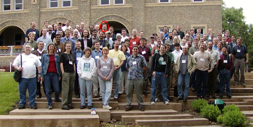
A younger me in the group photo from the very first Mapserver User Meeting in 2003
It felt very subversive and I wondered if Esri had people in attendance. The benefits of using FOSS were obvious. But like most who try to implement non-Esri technology, my office mate and I encountered a massive amount of resistance from the rest of the staff. We constantly had to justify the decision to use these tools. We’d build something that was fast and hit all the needed features, just to have our supervisors mumble something like, “interesting, could you do that in Esri?”. However, we were persistent, and what we built worked. During this time I also attended all the Esri UC’s. But I kept looking forward to the MapServer conferences which eventually evolved into FOSS4G conferences.
In 2004 I discovered and downloaded QGIS for the first time. It was at version 0.7 Seamus. It was cute, but not quite ready to be useful to my work. But I followed with great curiosity as it evolved. I left EDAC in 2008 to launch my own business, Bird’s Eye View. BTW - this was one of the best decisions I ever made. My office mate left shortly thereafter.
When we left, all the web services at EDAC were built on FOSS tech. In the intervening years it has reverted back to an Esri shop. If I’ve learned one thing, it takes a champion to keep FOSS alive in an organization.