Conservation

A QGIS Workshop at the Society for Conservation GIS (SCGIS)

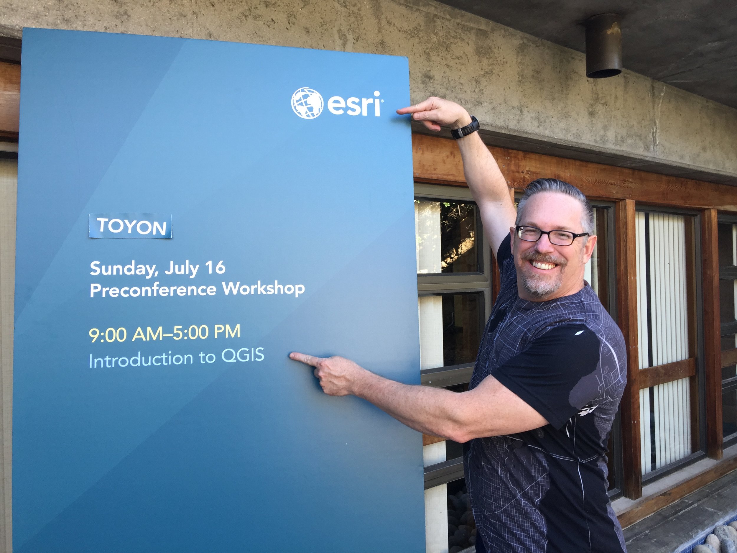
Last Sunday I taught a full day Introduction to QGIS workshop at the 2017 SCGIS conference in Pacific Grove, California. While I've taught this course many times before, this class was particularly unique because SCGIS, although an independent non-profit organization, is heavily sponsored by Esri. In addition, Max Wright with Conservation International, also taught a QGIS workshop entitled An Introduction to Predictive Land-use Change Modeling using Open-source Software, making 2 of the 4 workshops at SCGIS QGIS based. Certainly a first! 

A QGIS workshop at an Esri sponsored conference?!

A QGIS workshop at an Esri sponsored conference?!

My workshop was sold out with a waiting list and I eagerly anticipated meeting the participants. Almost universally attendees were either:

  • Mac users and/or
  • Looking for work and wanting some new skills

I expected there to be some ArcGIS power users from established conservation organizations who were just curious about QGIS, but there wasn't anyone who fit that description. 

Overall QGIS was very well received. During the morning session I introduced FOSS and QGIS, showed how to add and style data and create a map. At lunch one attendee said,

"I have about 10 pet peeves with ArcMap, and you just answered 7 of them with QGIS!"  

During the afternoon session I covered plugins, geoprocessing, the Graphical Modeler and how to get help/resources. If you missed it, all the workshop materials can be downloaded here.

One of the most interesting aspects of SCGIS is their International Scholar program. In attendance were a couple dozen scholars from around the world. I met people from Barbados, Zimbabwe, Madagascar, Brasil, Columbia, The Gambia, Bangladesh, New Zealand, Pakistan, and Zambia. It was really fun connecting with people from such different places working on conservation.

Then there was the location. We were at the Asilomar Conference Grounds on the Monterey Peninsula. The waves on the beach could be heard from our room and each night I went out to the beach to enjoy the sunset. I also had time to visit the Monterey Bay Aquarium and go on a whale watching tour!

One thing I realized is that many don't seem to look far beyond the Esri ecosystem for geo-tools. I've been an Esri user for 20 years, I get it. There are some great products in the stack. However, I hope more SCGIS'ers eventually venture to a FOSS4G conference. I think it would be immensely helpful to their work. The set of FOSS tools discussed there is so broad and interesting. Afterall GIS is just a tool, why not have a bigger set of tools to work with? Certainly having two QGIS workshops at SCGIS is a step in the right direction. 

I had some discussions with another SCGIS attendee about doing a workshop next year on how to work with LandFire products with QGIS. I'll keep you posted on that.  Next up is the 3rd QGIS User Meeting/Hackfest/Developer Meeting in Nødebo Denmark where I'll be teaching a full day workshop on Data Visualization and Cartography in QGIS!

Apparently It's Conference Season!

I don't think I've ever been to back-to-back conferences and this summer I'm going pretty much back-to-back-to-back. The best part is that they are all in great locations.

First up I'm giving an Introduction to QGIS full day workshop at the Society for Conservation GIS (SCGIS) conference. The location can't be beat. It's at the Asilomar Conference Center, located on the coast just outside of Monterey, California. Historically this has been an esri-centric group so it's an exciting opportunity to show conservationists how far QGIS has come! I've been told the workshop is sold out with a waiting list.

The main presentation hall at Asilomar

The main presentation hall at Asilomar

I'll be home for a little less than a week. Then I head to the 2017 QGIS Users Conference in Nødebo, Denmark! Lene Fischer produced the video below if you want to know where it is and how to pronounce it :)

In Denmark I'll be teaching another all day workshop. This time the topic will be Data Visualization and Cartography in QGIS.  I'll cover the myriad of great data visualization techniques now available in QGIS including the QGIS2ThreeJS and Time Manager plugins. I was there in 2015 for the first QGIS User Conference and it was a great experience...I highly recommend it. The first few days will be the Users Conference, then there is a Developer meeting and it closes the second week with the Workshops. I'll be heading down to Copenhagen in the middle for a few days to be a tourist. 

2015 QGIS Conference in Nødebo Denmark

From Denmark I fly back to Boston for FOSS4G. I'll be participating in 3 talks and a panel discussion. It will be great to catch up with the #gistribe & #spatialcommunity folks face-to-face. After 3 weeks on the road I'll then fly home. It's going to be an adventure. 

I'll post links to my workshop presentations afterwards and I'll probably write a few summaries once I've recovered.

ESRI International Conservation Mapping Competition

The Conservation of Arctic Flora and Fauna is a working group under the Arctic Council, for the countries of Russia, Denmark, USA, Canada, Sweden, Iceland, Norway and Finland and indigenous peoples.

Created in association with Esri and the Society for Conservation GIS (SCGIS) to bring special recognition to those involved in conservation initiatives, the International Conservation Mapping Competition is open to all nonprofit conservation groups and the individuals who support them. 

Rare Ocelot Sighting - Great News from Southern Arizona

"OCELOTS ARE AMONG the rarest of wild cats and with a territory primarily in South and Central America, it’s uncommon to see them in the States — to the extreme. But in the Huachuca Mountains of Arizona two days ago, a dog chased one up a tree. Experts with the Arizona Game and Fish Department arrived, took photos and verified the sighting. They determined that it appeared healthy enough to be left alone."

Registration now open for the SCGIS 2011 conference

The Society for Conservation GIS (SCGIS) assists conservationists worldwide in using GIS through communication, networking, scholarships, and training.

The 2011 Conference will focus on elements necessary to build strength and capacity in the world of conservation GIS, including healthy partnerships, strong support networks, innovative tools and comprehensive training.