I don't think I've ever been to back-to-back conferences and this summer I'm going pretty much back-to-back-to-back. The best part is that they are all in great locations.
First up I'm giving an Introduction to QGIS full day workshop at the Society for Conservation GIS (SCGIS) conference. The location can't be beat. It's at the Asilomar Conference Center, located on the coast just outside of Monterey, California. Historically this has been an esri-centric group so it's an exciting opportunity to show conservationists how far QGIS has come! I've been told the workshop is sold out with a waiting list.

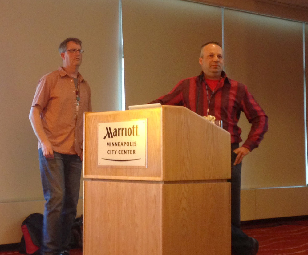
The main presentation hall at Asilomar
I'll be home for a little less than a week. Then I head to the 2017 QGIS Users Conference in Nødebo, Denmark! Lene Fischer produced the video below if you want to know where it is and how to pronounce it :)
In Denmark I'll be teaching another all day workshop. This time the topic will be Data Visualization and Cartography in QGIS. I'll cover the myriad of great data visualization techniques now available in QGIS including the QGIS2ThreeJS and Time Manager plugins. I was there in 2015 for the first QGIS User Conference and it was a great experience...I highly recommend it. The first few days will be the Users Conference, then there is a Developer meeting and it closes the second week with the Workshops. I'll be heading down to Copenhagen in the middle for a few days to be a tourist.
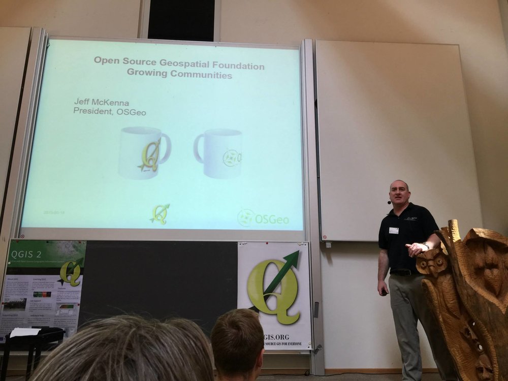
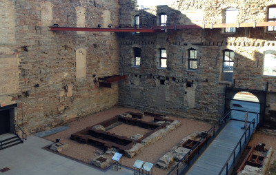
2015 QGIS Conference in Nødebo Denmark
From Denmark I fly back to Boston for FOSS4G. I'll be participating in 3 talks and a panel discussion. It will be great to catch up with the #gistribe & #spatialcommunity folks face-to-face. After 3 weeks on the road I'll then fly home. It's going to be an adventure.

I'll post links to my workshop presentations afterwards and I'll probably write a few summaries once I've recovered.