In previous posts (Part 1 - Part 2 - Part 3) I’ve shared some painful experiences I’ve had with Esri through the years. Here, I am sharing what I see as a partial solution - education.
A long-term goal of mine is to help diversify the GIS/Geo offerings of universities and colleges. A colleague, Dr. Phil Davis, conducted a survey several years ago and established that 95% of the GIS curricula in U.S. colleges and universities are based on Esri software. This presents both practical and ethical issues. Students typically have access to a free Esri license while in school. However, most are due for a rude awakening if they want to start consulting work in GIS after graduation, or simply continue their GIS education. I have always felt schools have an ethical obligation to teach a few FOSS alternatives. Students deserve the opportunity to learn and use technology regardless of their social or economic status. Plus, with the sheer number of tools for doing geo things, being limited to a single vendor is a serious professional limitation.
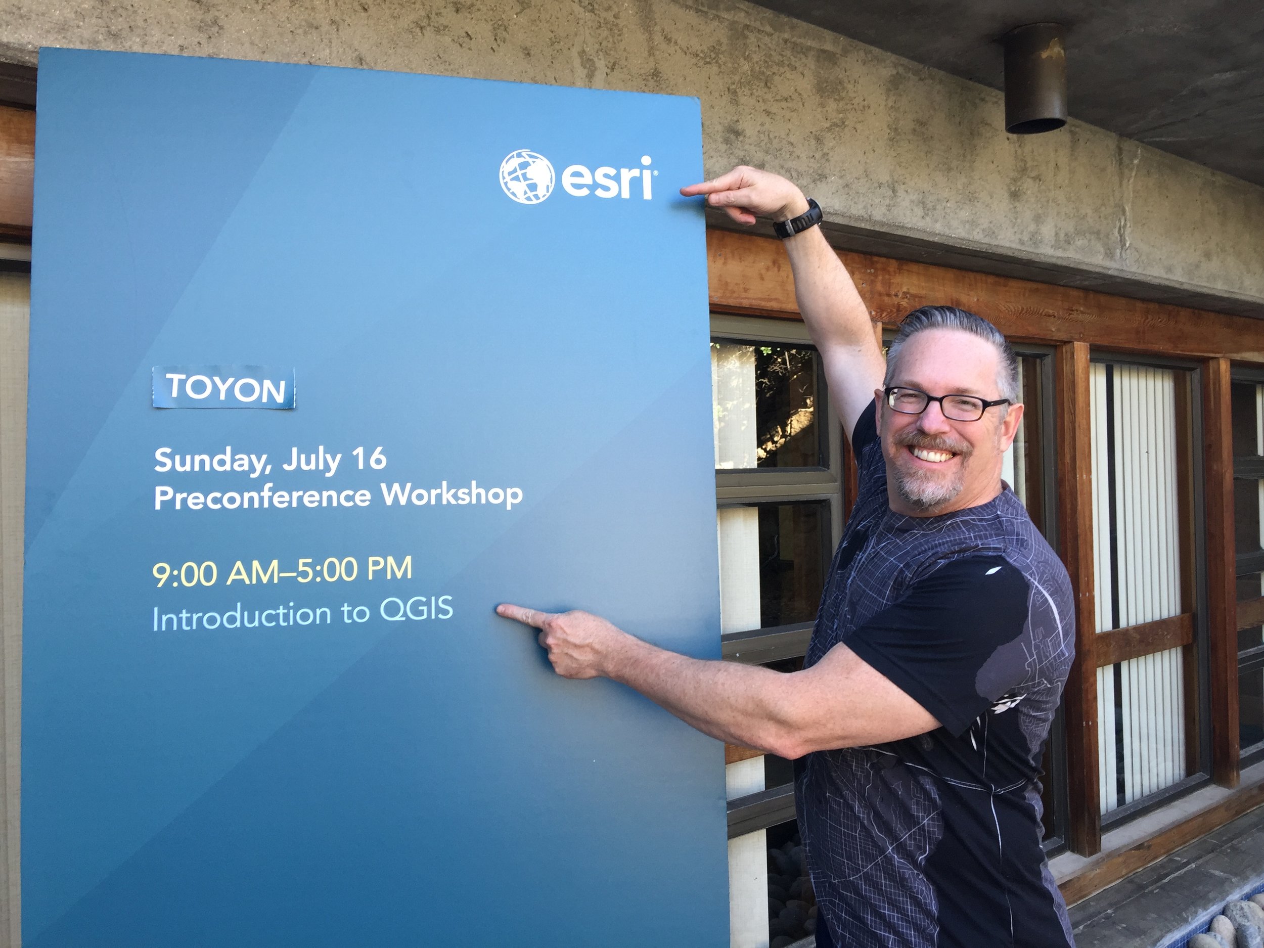
In 2008 I developed a semester long course named “Introduction to Open Source GIS.” I’ve been teaching this ever since at my local community college. As in most schools, students show up on the first day having been taught an Esri curriculum - to the complete exclusion of anything else. Most of these students are shocked to learn of the diversity of FOSS offerings. Early in the course I like to have a reprojecting race on a local streets layer between ogr2ogr and ArcMap. It blows minds! Spoiler alert: ogr2ogr wins. After being exposed to GDAL, QGIS, PostGIS etc., there is usually someone who asks, “Why is no one talking about these?” Over the years an important trend has become clear to me. At some point - as students learn to replicate a workflow in a different software - they stop just pressing buttons and begin to think about the data, what they are doing with it, and the results. Critical thinking should be the goal of any geo course.
Open Curricula
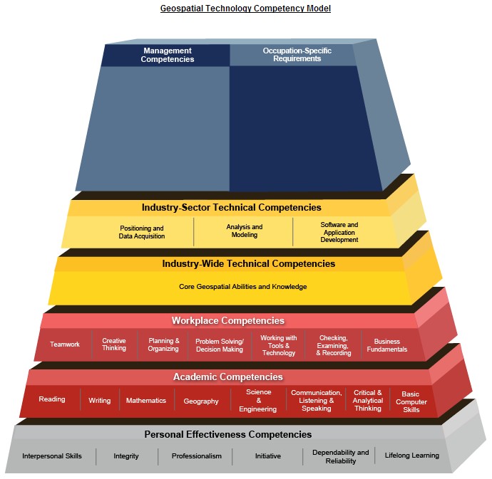
To help diversify GIS offerings I have worked on a number of open curricula. In 2014 I helped create the GeoAcademy. The original motivation behind this was to produce material that could be easily used, in whole or in part, by instructors wanting to incorporate FOSS4G into their curricula. It is based on the U.S. Department of Labor’s Geospatial Competency Model (GTCM). The GTCM is a hierarchical model of the knowledge, skills, and abilities (KSA’s) needed to be a working GIS professional in today’s marketplace. The GeoAcademy includes 35 FOSS4G university-level lectures and labs. Each lab task even has a YouTube video. This material is becoming dated but is still available. More recently I helped develop an open GIS-based curriculum on Tropical Cyclones. It’s a four unit series of exercises which use spatial data and QGIS to teach earth science. It’s aimed at early college students.
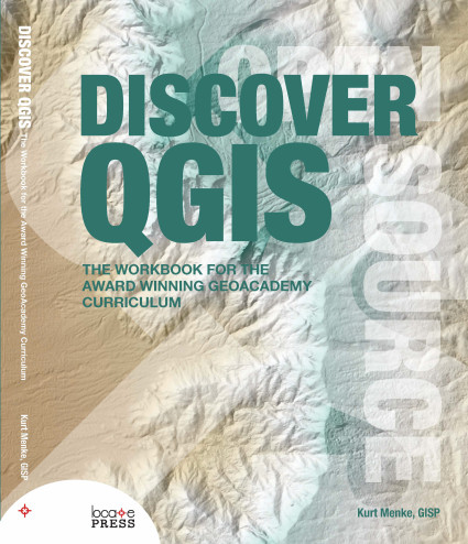
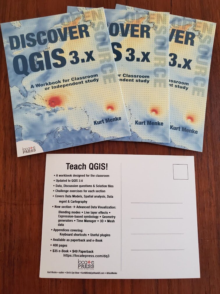
Discover QGIS 3.x
Discover QGIS 3.x - released in May with Locate Press, is largely based on The GeoAcademy. It too is designed for the classroom. The first three parts are updates to the original GeoAcademy labs. In addition, I augment that material with features I find invaluable in my day-to-day work as a GIS consultant. This 400 page workbook represents the best parts of the GeoAcademy, combined with my diverse experience teaching QGIS and using it in an applied work setting. It introduces the QGIS interface and covers: basic GIS concepts, spatial analysis, modeling, data creation and editing, cartographic design and data visualization. GDAL/OGR and PostGIS are also introduced. The material is modular. Instructors can opt to use the book in its entirety or select specific exercises to augment their courses. There are solution files for each exercise and many exercises include a challenge and discussion questions.
To help get it out there, I ordered a stack of postcards advertising the book. I mailed these to a minimum of two universities/colleges in each of the 50 U.S. states. I also mailed them to many people internationally. Cards went to hundreds of geo-librarians, professors, lab managers, instructors…. At the very least my hope is that this book gets into university libraries. If you know of a school or professor who could use some inspiration, let me know! Getting students introduced to FOSS4G software is the best way to start having it be more widely used and adopted.
QGIS for Hydrological Applications
In September the latest book with Locate Press - QGIS for Hydrological Applications - Recipes for Catchment Hydrology and Water Management - was published. This book, co-authored with Dr. Hans van der Kwast, was written with a similar intent. It is based on an open curriculum developed by Hans. IHE Delft is a model school because QGIS is the default GIS and the curricula developed there are all published with an open license. The book is the first of its kind, covering QGIS applied to a specific topic. Another feature is that it uses open data throughout. Our hope is that educators will use this book to introduce students to QGIS while learning basic hydrological concepts, and open data. With this book students learn to:
Georeference scanned maps
Digitize vectors
Import tabular data
Join attribute tables
Interpolate points to a raster
Apply map algebra
Delineate streams and catchments
Find and use Open Data
Calculate the percentage of land cover per subcatchment
Design beautiful catchment maps
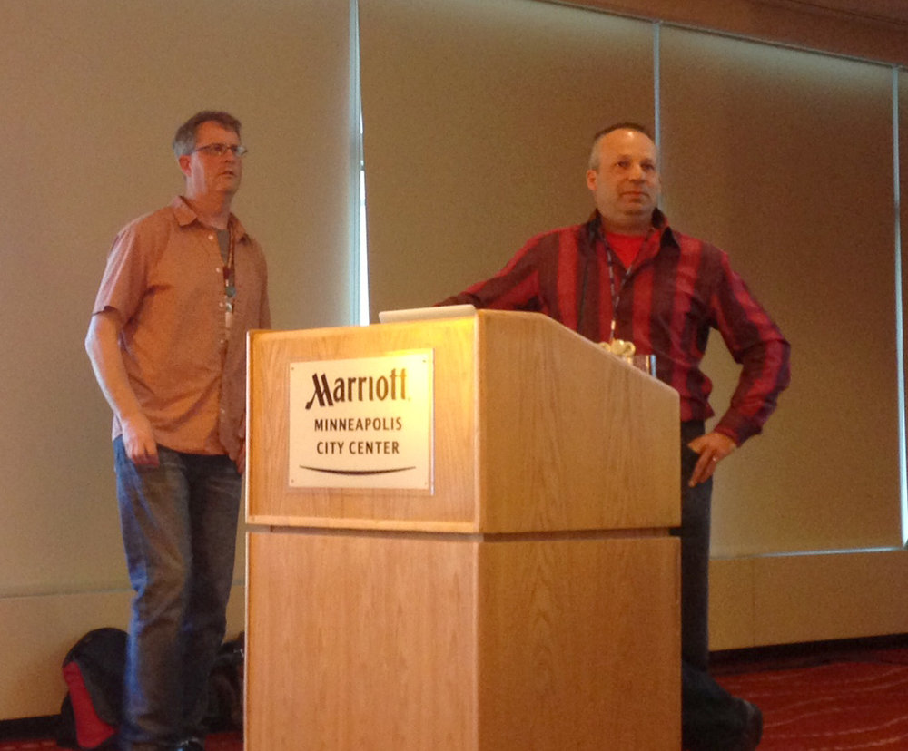
This book has already been field tested several times including a full treatment at IHE Delft in the Netherlands last month.
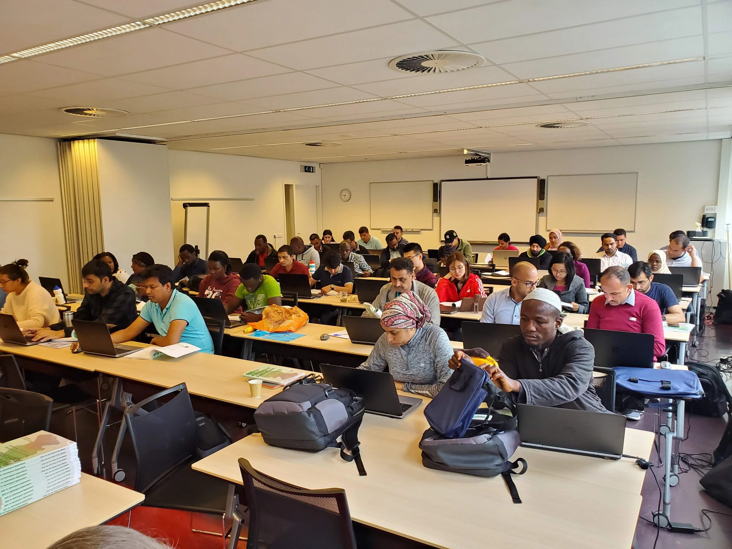
The inaugural course using QGIS for Hydrological Applications - IHE Delft
Again, if you know of a hydrology school or professor who could use some inspiration let us know! If we can get more professors offering FOSS4G in the classroom it will eventually lead to broader adoption of QGIS, PostGIS, GeoServer etc. This will lead to a bigger more diverse FOSS4G community and better software.