

The past week was spent conducting training sessions on how to use a low cost workflow for public health mapping in minority communities. Trainings were conducted at two sites. The first site was the Urban Indian Health Institute in Seattle, Washington. They are monitoring noise pollution in urban indian populations. The other Papa Ola Lokahi in Honolulu, Hawai'i. They are working on a community public health assessment. The workflow starts with data collection using iPhones/iPads, moves into working with the the data in QGIS and finally data presentation via GIS Cloud.
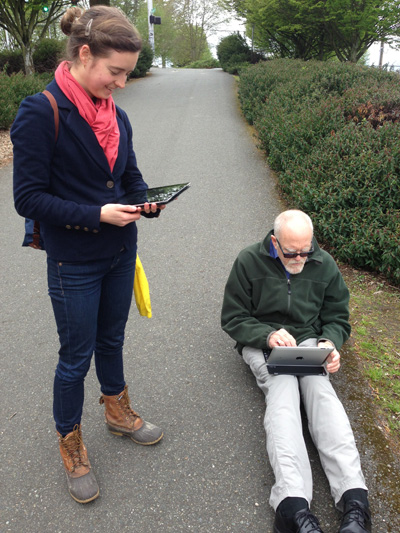
Taking GPS and decibel readings in Seattle.There is an ever expanding ecosystem of geospatial apps for iOS. For this project we are evaluating EPICollect and GIS Pro. EPICollect is a free app designed to collect point data with a custom form. GIS Pro is a very expesive app. However, with the price comes a very intuitive and robust data collection system.

An assortment of mapping apps for iPad
Once data is collected QGIS is used to combine the data with other organizational datasets, conduct spatial analyses and prepare maps. GIS Cloud is being used for final online presentation.